

Plateau Hame De Colquhoun is located on the Southern end of the West Mesa, 41 miles South of Albuquerque, 14 miles from exit 191 Belen New Mexico, with 11 miles of narrow washboard roads.
Address: 470 Powerline Rd, Bosque
DO NOT follow GPS Exit 191 is the only good road up here, others are only passable by 4×4.
You can view directions on our YouTube channel ( In the video, you can see a billboard that Billboard is no longer there)
**Please note that this is private property. Please do not just show up. Contact us either by phone, text, or email or booking using one of the platforms found on the camping page before making the journey out**
Directions
From I25 take exit 191 Belen Camino Del Llano, go west onto Camino Del Llano. (Opposite direction from Loves Truck stop, last available gas station)
Continue all the way up the hill.
Cattle crossing -first left on Harrison
6/10 mile Right on Marble quarry Rd
7/10 mile Left on Claudine Rd (at stop sign)
4/10 mile turns to dirt stay on dirt.
2 miles Stay to the left (straight at the curve)
5.5 miles Turn Right There is a sign with an arrow pointing to right. (This road is the first road in the right after Lulu Lane, if by No RVs sign, you have gone to far)
3/10 miles Take left end of the road (Twinnings Rd) Arrow pointing Left
2.6. Miles take left (Colquhoun Way) .
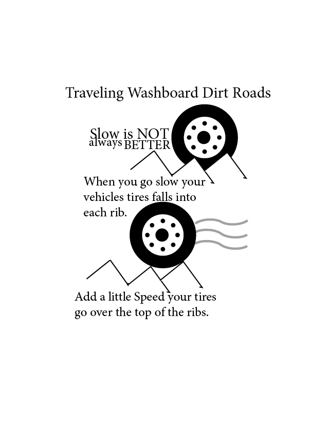
Depending on how you travel dirt roads Please give an hour to travel the roads.
There are other routes with fewer washboards, but they are narrower, sometimes with more dips or gates to go through.
